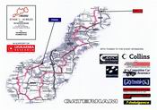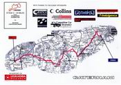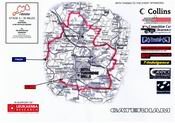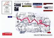
This year The Rumble was organised by Arnie, the Count and Stelios. The route involved visiting the 4 south-east counties
of Kent, Surrey, East Sussex and West Sussex. The overall route was 121 miles and the following maps, together with
directions, were issued to each car at the beginning of each stage.
Please click on the link below each map for a larger version of the maps and accompanying directions.
 |
 |
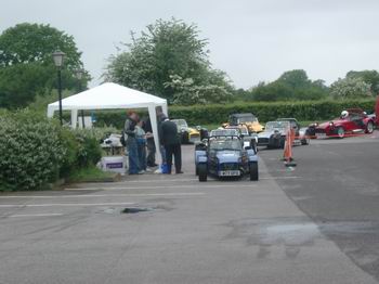
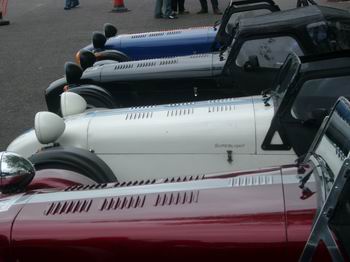
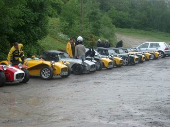
| 7s arriving for signing-on |
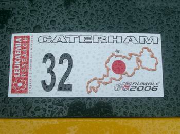
C7CAT allocated No. 32 |
 |
 |
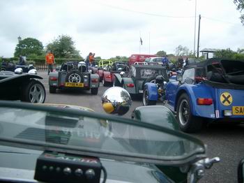
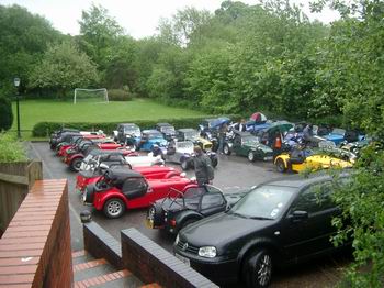
| The car park begins to fill up |
Synchronised parking |
 |
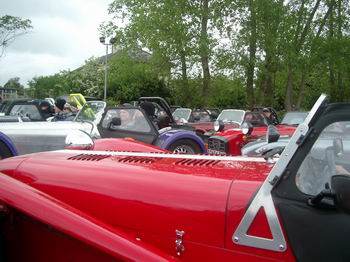 |
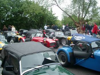
| The start |
Me first! The rush begins.... |
 |
 |
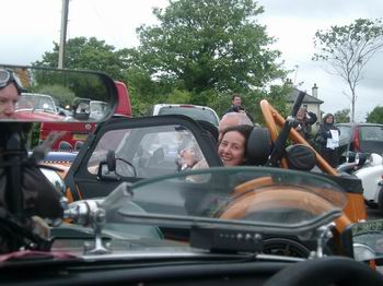
| Steve & Jenny lead the pack and even won a prize for being the
first to get lost after 300 yds! |
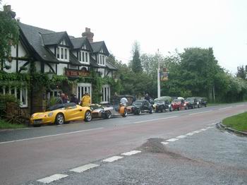
Coffee break at The Wheatsheaf pub.... |
 |
 |
| ...and car park |
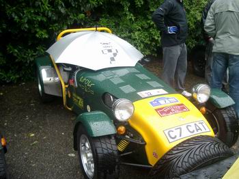
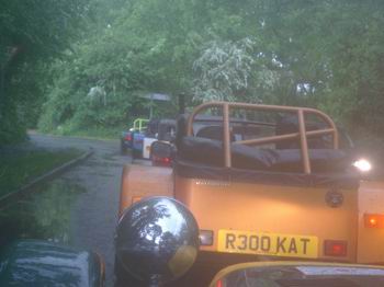
C7CAT tries to stay dry, at least, on the inside |
 |
 |
| Lunch at High Rocks |
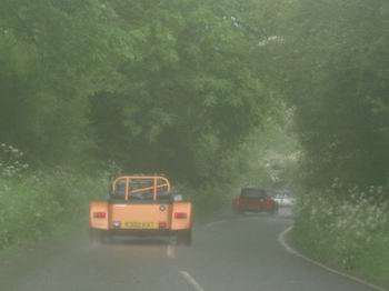
Deteriorating conditons in the afternoon... |
 |
 |
| ...continue! |
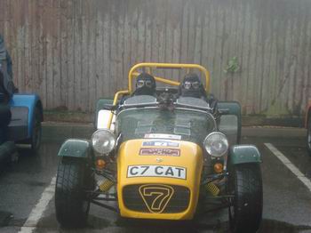
Alternative wet-weather gear for aeroscreening |
L7C Activities